
Mapa topográfico Àird
Mapa interactivo
Haga clic en el mapa para ver la altitud.
Acerca de este mapa
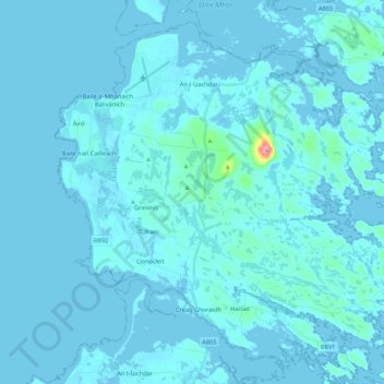
Nombre: Mapa topográfico Àird, altitud, relieve.
Lugar: Àird, Western Isles, Scotland, United Kingdom, Benbecula (57.39877 -7.41201 57.49401 -7.19778)
Altitud media: 5 m
Altitud mínima: -4 m
Altitud máxima: 121 m
There is a dense cluster of lochs across almost the entire island, and almost all of the island is below 20 metres (70 feet) in elevation.
Otros mapas topográficos
Haga clic en un mapa para ver su topografía, su altitud y su relieve.
Reef
United Kingdom > Scotland > Western Isles
Reef, Western Isles, Scotland, HS2 9HU, United Kingdom
Altitud media: 18 m
Scarista
United Kingdom > Scotland > Western Isles
Scarista, Western Isles, Scotland, HS3 3HX, United Kingdom
Altitud media: 60 m
Vatersay
United Kingdom > Scotland > Western Isles > Vatersay
Vatersay, Western Isles, Scotland, United Kingdom
Altitud media: 19 m
Tong
United Kingdom > Scotland > Western Isles
Tong, Western Isles, Scotland, HS2 0HJ, United Kingdom
Altitud media: 15 m
Tarbert
United Kingdom > Scotland > Western Isles
Tarbert, Western Isles, Scotland, HS3 3DB, United Kingdom
Altitud media: 87 m
St Kilda
United Kingdom > Scotland > Western Isles
St Kilda, Western Isles, Scotland, United Kingdom
Altitud media: 11 m